Simms-Waterfall
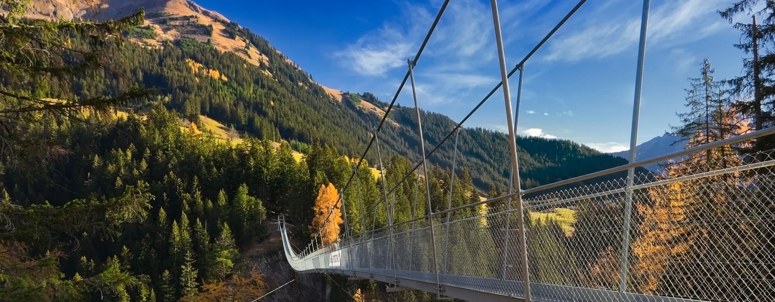
Suspension bridge Holzgau
Difficulty: medium
Route: 10. 5 km
ascent: 623 m
descent: 623 m
Lowest point: 1,514 m
Highest point: 2,256 m
Duration: 4:00 h
Description:
With the hiking bus (included in the Warth-Card) we drive into the Lechtal to Holzgau. We walk past the church towards Höhenbachtal. Here the suspension bridge is already visible 200 m long and 110 m high. Another highlight of this hike is the 30 m high Simms waterfall which is fed by the mountain stream. On a wet rock path it meanders through the rocks next to the deeply dug brook close to the spray. A beautiful view and breathtaking
Directly behind this, the green Höhenbach valley opens up, which then extends as far as the German border (Mädelejoch) and forms part of the European long-distance hiking trail E5 (northern part, stage 2). We make a little refreshment stop at the "Cafe Uta" and then we hike on to the suspension bridge. The way back via the "Schigge" and the "Lusthäuschen" offers a beautiful view over Holzgau.
Qualitätssiegel / URLAUB BEIM WANDERPROFI Die Jägeralpe wurde mit der höchsten Prämierung von fünf Bergkristallen ausgezeichnet.
Unsere Wanderhütte Hochalp hat täglich geöffnet bei Liftbetrieb/Steffisalp.


